Mountain Navigation
Our navigation course has been designed for mountain and wilderness travelers, with an emphasis on both practical methods of finding your way combined with the use of the latest technology in GPS apps, mapping, and compass use. Ensure that you can safely find your way using Map, Compass, and GPS skills, as well as navigation techniques specific to travel in mountainous terrain. In-depth training includes Online Learning in our Virtual Classroom; a Live Zoom evening class; and, a full day in a local mountain region.
Select Date to Register
1 in stock
5 in stock
8 in stock
Dates - 2026
- Saturday, May 16 (Zoom session Thurs May 14)
- Saturday, June 6 (Zoom session Thurs Jun 4)
- Saturday, July 11 (Zoom session Thurs July 9)
- Saturday, August 22 (Zoom session Thurs August 20)
- Saturday, September 5 (Zoom session Thurs September 3)
Description
- fundamentals of mountain navigation
- introduction to topographic maps
- overview of recreational compasses
- pre-trip planning resources
- how to take bearings
- practical map reading skills
- determining your position on a map
- re-section (triangulation)
- navigation using your surroundings
- off-trail travel and navigation
- tips and techniques for “staying found”
- overview of common GPS Apps
- basic emergency response measures if lost
Location
- location with the ability to access the internet for 2+ hours
- ideally a location with few distractions or background noise
- device with camera and audio; laptop or desktop computers are preferred, but mobile devices will work as well
- ensure your device is fully charged and/or plugged in
- check audio and video before you join
- If your “screen name” is a nickname or you are using someone else’s computer, please identify yourself to the instructor
- If you are a group of 2 or more people on the same computer, please let your instructor know who is on your call.
- be ready to take some notes
- have any questions prepared and ready to discuss
Equipment & Pre-trip planning
Waivers & Policies
2026 dates:
Additional dates: We can run our Mountain Navigation course on any date for groups of 4 or more people. Please contact our office at info@themountainschool.com, or by phone at 1-888-892-2266 for more information on a Custom Mountain Navigation program!
The Mountain Navigation course includes an Online Pre-course that is approximately 2 hours of self-paced learning. This will be completed in our Virtual Classroom, with an access link emailed to you after registering for your specific course date. The topics covered in our Virtual Classroom include:
Live Zoom class session
In addition to the Online Pre-course material and the Practical Field training, each Mountain Navigation course includes an essential Live Zoom theory session usually held on Thursday evening from 7-9 pm prior to the Practical Field-based training day. During this Live Zoom session, you will meet your instructor and other teammates on the course and cover the final theory material, and arrange all logistics required to prepare for the practical field-based training.
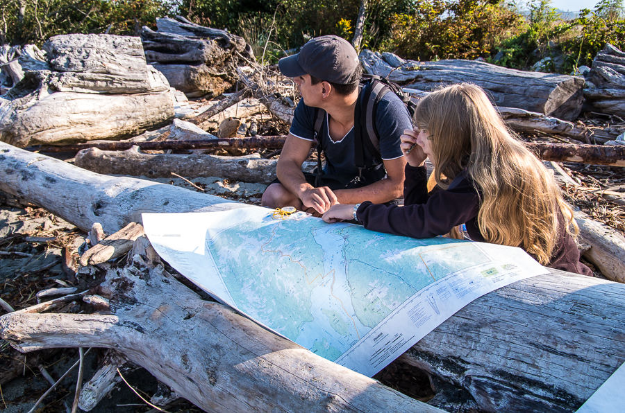
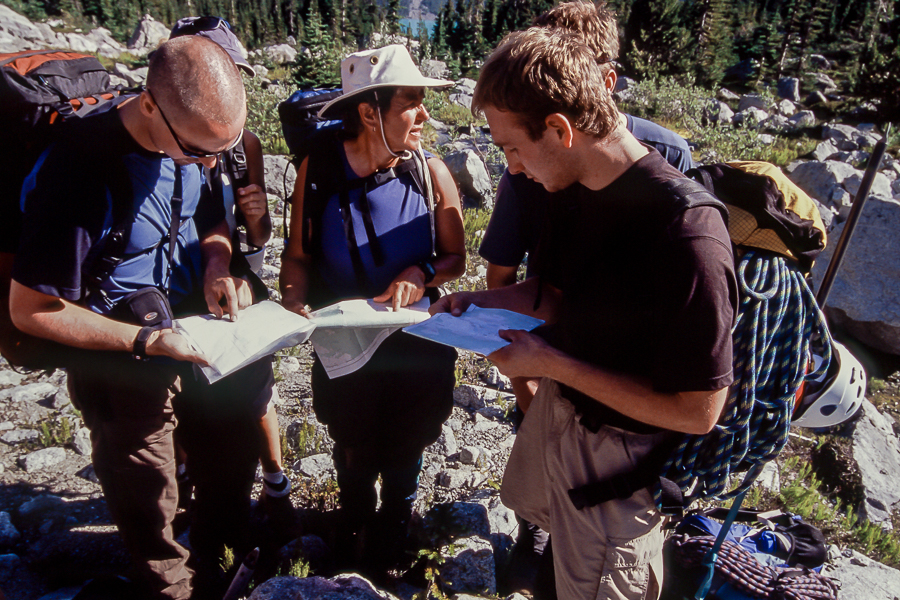
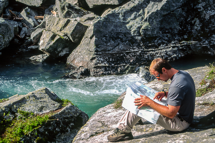
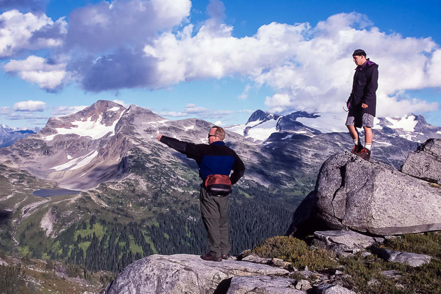
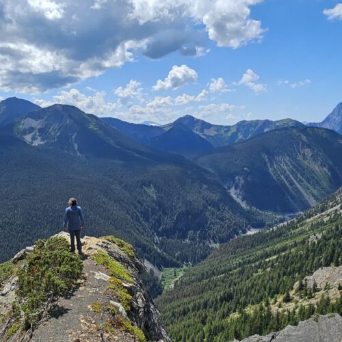
Practical Field-based training
On the field day, you will meet with your group at the prearranged trailhead at 8:00 am. The actual location and timing of the day will depend on the weather, time of year, location preference of the participants, and other factors. The location and logistics for each Field Training day will be determined on the mid-week Live Zoom session.
The practical Field training day will be conducted outdoors and includes the following essential mountain navigation and map/compass skills:
You will return to the trailhead between 4:00 – 4:30 pm and complete the course with a short wrap-up and question session.
The first evening classroom session for the Mountain Navigation course will be held online via a Live Zoom class. Students can participate from a location of their choice
Required for the Zoom session:
Practical Field Day
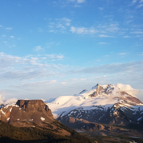
Practical field sessions are usually located in the Squamish and Sea to Sky Region, though may also be held on Mt Seymour, Buntzen Lake, and other local wilderness areas.
The final decision on a location for the field session will be made with the group, during the evening Live Zoom theory session. The actual location and timing of the day will depend on the weather, time of year, location preference of the participants, and other factors.
Equipment:
Everyone on the Mountain Navigation course needs to be prepared for a full day outdoors in any/all conditions. The course will be conducted in all weather conditions, including rain, snow, wind, and other inclement weather, so it is important to be well prepared.
Gear List for Mountain Navigation course
Pre-course planning:
Here is a link to our online tutorial “Compass Essentials“, this will help you to learn about (and choose) compasses before the course.
Once you have registered for the course, you will be enrolled in our comprehensive Mountain Navigation Online Course.
Maps and other navigation tools will be supplied by CWMS for the field session.
Waiver & Medical Disclosure
Complete the required Waiver and Medical disclosure form in advance of your program. Click on the link and navigate to the specific program and date that you are registered for:
Cancellation & Transfer policy
Review the CWMS & Transfer policy:
Related products
Footer
Policies
Contact
Main office 604.878.7007
Squamish 604.815.3451
Toll Free 1.888.892.2266
1290 3rd St
West Vancouver, BC
V7S 2Y2
Canada